
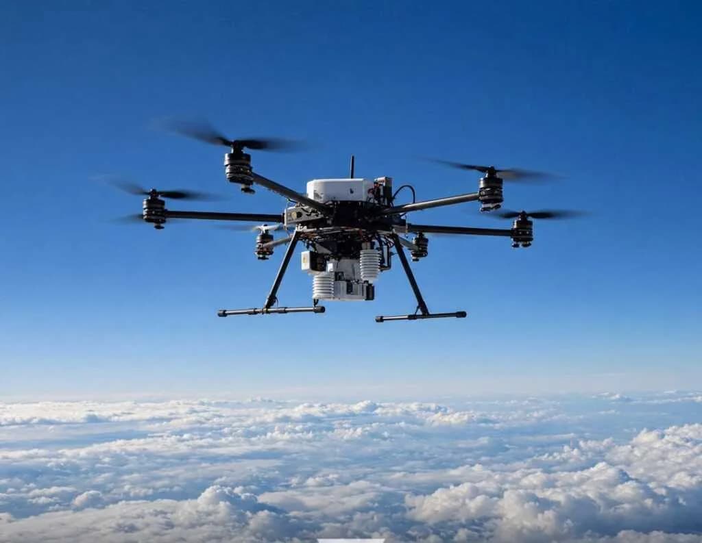
Swiss-based Meteomatics company has introduced a new weather drone called Strato, which can penetrate the upper atmosphere and accurately collect meteorological data. This drone is the first multicopter capable of reaching altitudes above 10,000 meters and measuring weather conditions in the upper atmospheric layers.
The drone can record temperature, humidity, air pressure, and wind speed in real-time as it ascends. It can operate at altitudes up to 12 kilometers—twice higher than existing weather drones—and is designed to withstand severe winds with speeds of 120 kilometers per hour. Additionally, it features an automatic heating system for the sensors to prevent icing at high altitudes.
These innovative meteorological services are currently being utilized by over 700 users worldwide across sectors including aviation, energy, insurance, and agriculture. This technology is expected to significantly improve weather forecasting accuracy in the future and substantially enhance natural disaster warning systems.
Ref: Technology Innovation